
Landslide Risk Assessment Before Buying a Hill Home in India
 TBH Editorial
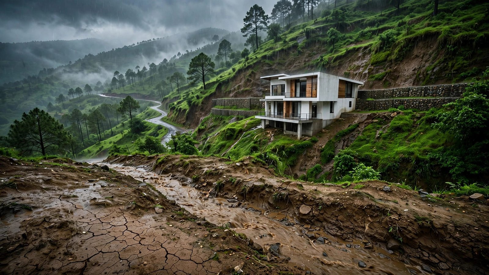
A hill view can make a dangerous plot look like a dream. Fresh paint, pine trees, and a wide balcony don’t tell you what happens during heavy rain. Water can move through the soil behind the house, block access, or affect nearby slopes.
A proper landslide risk assessment before buying a hill home in India isn’t paranoia. It’s due diligence. You are not only buying the building itself. You are buying a slope, its drainage, access during bad weather, surrounding development, and every decision made uphill from you.
Key Takeaways
- Use GSI’s Bhusanket portal and the ISRO Landslide Atlas as a first screen, not as proof that a specific plot is safe.
- Visit the property after sustained rain when conditions are safe, and trace water through the uphill catchment, drainage, retaining walls, access road, and neighbouring plots.
- Request ownership, approval, maintenance, repair, drainage, and past landslide records instead of relying on verbal reassurance from a seller.
- Make an independent assessment by a qualified geotechnical professional a condition of purchase, with attention to slope stability, foundations, retaining walls, groundwater, and vulnerability.
- Treat fresh cracks, bulging walls, leaning trees or poles, wet patches, sunken paving, blocked drains, and worsening ground movement as reasons to pause the transaction.
What a landslide risk assessment is really testing
Landslides are often treated as acts of nature. That lets builders, planners, and sellers off too easily. Rain may trigger a failure, but bad cutting, blocked drains, leaking pipes, loose fill, and unplanned construction often load the dice.
A landslide risk assessment asks three linked questions: how likely is slope movement, what sits in its path, and how badly could it fail. Hazard mapping and simple factor analysis help weigh physical factors together.
Hazard is the chance that the slope moves
Landslide hazard describes the likelihood and type of slope movement in a place. Engineering geology considers physical factors behind geological hazards, including slope angle, rock type, old slide scars, rainfall, earthquakes, vegetation loss, and water seepage.
A landslide hazard rating doesn’t make a site automatically unsafe. Slope steepness is only one consideration, and a gentler slope packed with loose dumped soil and saturated by leaking water can be worse.
Exposure and vulnerability decide the human cost
Exposure means the people and assets in harm’s way, including roads, tanks, utilities, and other elements at risk. Think beyond the house. Is the access road below a cut slope? Is the water tank uphill? Could falling debris block the only route to a hospital?
Vulnerability assessment considers the likely degree of damage or disruption to the home and access systems, not whether failure is certain. A building with shallow foundations, weak retaining walls, and no drainage is more vulnerable than one designed for the site. A map can flag danger. It cannot certify your plot.
Start with India’s official landslide maps
Use national tools as your first screen for landslide hazard. They can reveal patterns through landslide mapping and hazard mapping that a property listing won’t mention, such as repeated failures along a valley, road corridor, or hillside settlement.
Official products may combine terrain, geology, rainfall, land cover, past failures, and other physical factors. They may use spatial analysis or a published factor analysis. That factor analysis can weight physical factors differently across products.
This broad hazard mapping supports hazard zonation and development planning. It can show where elements at risk may be concentrated, but it isn’t permission to build.
The Geological Survey of India classifies mapped areas by relative landslide susceptibility, including high, moderate, and low zones. That landslide susceptibility indicates where movement may be more likely, not whether a specific property is safe.
A government update on GSI landslide mapping says the national programme has mapped 4.3 lakh square kilometres of landslide-prone terrain.
Check susceptibility, then check past failures
Enter the approximate plot location into the Bhusanket mapping and forecast portal before checking the map. Compare the pin with the actual parcel boundary, not only the village name.
An isopleth map uses lines or bands to connect places with similar mapped values. Its scale may not match a private parcel, so a listing marked “near Mussoorie” can cover very different ground conditions.
Then look at the ISRO Landslide Atlas of India. It records about 80,000 mapped landslides from 1998 to 2022 across vulnerable parts of the Himalayas and Western Ghats.
The atlas provides a landslide inventory of past events. Satellite remote sensing, including radar interferometry, may identify movement patterns in some products. It can indicate ground deformation when the relevant product and resolution support that interpretation.
Past slides don’t predict every future slide, because triggering factors can differ. Still, that landslide inventory tells you the terrain has already failed under real conditions.
Read maps like a screening tool, not a permission slip
A low-susceptibility category does not remove landslide hazard. It may sit beside a recent road cut, below a leaking uphill building, or on fill placed during construction.
National hazard zonation works at a broad scale, and a mapped absence of a landslide doesn’t prove the site is safe. Your purchase decision needs plot-level evidence. Treat official hazard zonation as the first question, never the final answer.
Visit the property when water is visible
Don’t make your only visit on a bright winter afternoon. If possible, return after sustained rain, but only when it is safe to travel. Never travel to an actively affected site or ignore an official warning. Check local IMD, state, or district early warning systems before leaving, and postpone the visit if conditions are unsafe.
Water shows you how the site behaves when the soil is under pressure. Intense or prolonged rainfall and redirected runoff are triggering factors, not proof that a failure will occur.
Walk the full uphill catchment, the plot, downhill edge, access road, any common drain, and neighbouring properties. Note physical factors such as slope form, slope steepness, exposed soil, and drainage paths. Ten minutes outside can reveal more than an hour in a staged living room.
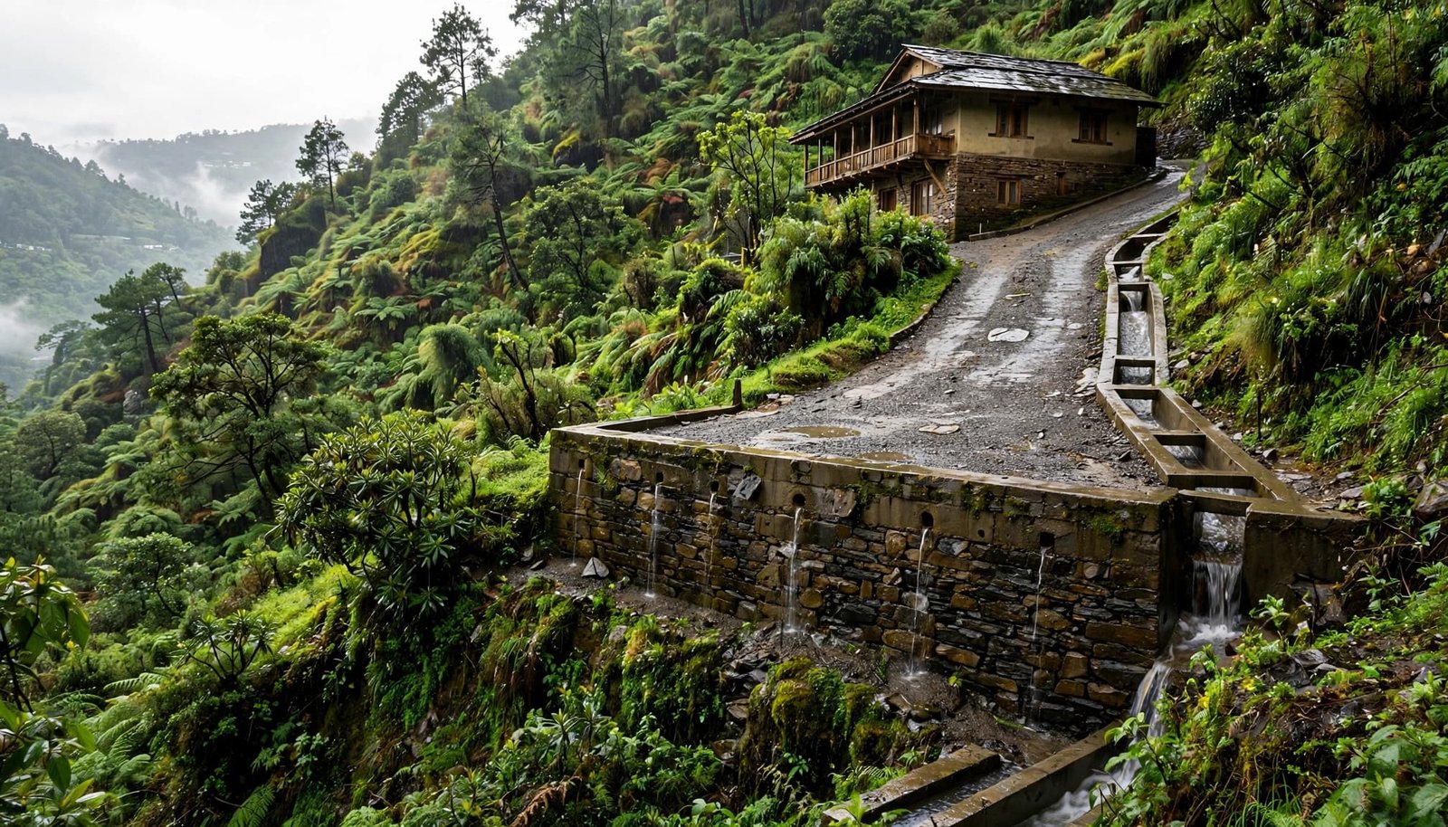
Look for water flowing where it shouldn’t, seepage, blocked drains, or saturated soil, all clues to the site’s hydrological factor. Notice whether roof pipes discharge into a proper drain or simply spill onto bare soil.
Ask nearby residents where water collects during the monsoon. Ask which road closes first. Their answers may be blunt. Listen anyway.
A landslide hazard can hide underground through years of dry weather, then worsen one wet season at a time.
Follow the water uphill and downhill
Most slope failures have a water story, and rain is only one part of it. Trace water from its upslope source to a safe outlet. Check roof water, uphill roads, culverts, septic or supply lines, retaining-wall drains, and shared infrastructure. Its path depends on the site’s soil and drainage.
Inspect drainage as if it were part of the foundation
Open drains should have a clear path to a safe outfall. They shouldn’t end at the edge of a slope, disappear under debris, or empty behind a wall. Check culverts under roads too. Blocked culverts, leaking pipes, and concentrated runoff are triggering factors that can turn a narrow stream into a destructive sheet of water.
Keeping these routes open supports practical risk reduction. Clearing debris, repairing leaks, and correcting unsafe discharges are basic mitigation measures. The consequences can extend beyond the plot. Houses, roads, utility lines, and downstream neighbours are all elements at risk when drainage fails.
Ask who cleans common drains and how often. Include shared culverts, roadside channels, and retaining-wall drains in that plan. “The municipality handles it” isn’t an answer unless someone can show the work is done.
Notice vegetation, exposed earth, and slope orientation
Native vegetation can reduce surface erosion and help hold shallow soil together. Runoff behaves differently on each site because of physical factors such as soil depth, drainage, and slope steepness. Vegetation alone isn’t proof of slope stability. Freshly cleared ground, sparse grass, and exposed cut faces deserve attention.
The ecological impact can extend beyond one house. Removing deep-rooted cover can worsen surface runoff, disrupt local water systems, and put pressure on urban biodiversity in fast-growing hill towns. Retained native vegetation and carefully planted ground cover can support nature-based solutions. They can complement engineered drainage, but they can’t replace a site-specific slope assessment.
Plant-based living can reduce emissions. It does not stabilise a saturated hillside. Personal choices belong in the conversation, but they must stay in proportion to the physical risk.
Ask for records, not verbal reassurance
A seller may say, “There has never been a problem.” Ask what that means. Has there never been a major collapse, or has there never been a complaint they chose to share?
A coat of paint can hide a damp wall. It cannot repair the drain, pipe, foundation, or retaining wall behind it.
Request copies of ownership and approval records:
- Sale deeds, title documents, encumbrance records, and property-tax receipts.
- Approved building plans, completion records, and an occupancy certificate where the local authority requires one.
- Local development planning or land-use records showing whether road cuts, hillside construction, drainage changes, or nearby approvals affected the site.
Requirements vary by local authority. Not every property will have the same certificate or permission. Ask why a document does not apply before treating it as a concern.
Then request technical records:
- Retaining-wall drawings, soil reports, structural calculations, slope-cut permissions, and drainage layouts.
- Repair bills for cracks, seepage, drainage work, road failures, or foundation strengthening.
- Society records, insurance claims, and maintenance logs mentioning rain damage or slope movement.
These records help an engineer assess geological hazards, including whether construction or drainage changes increased pressure on the slope. Use the development planning records to compare approved plans with actual construction. Look for unapproved slope cuts, added fill, blocked drains, or changes to retaining walls.
Ask the municipality or district authority for local records of past landslides, road failures, drainage complaints, or slope movement. Such a local record can supplement a national landslide inventory. Missing records are not proof that no slide occurred.
Also ask for photographs from the last two monsoons. A seller with nothing to hide should not panic at a reasonable paper trail.
If documents contradict the sales pitch, pause. Don’t let a booking amount force a rushed decision. Get independent legal advice on title, approvals, and disclosure before signing anything.
Hire a geotechnical engineer who knows hill sites
This is where many buyers try to save money, then spend years paying for it. Make an independent landslide risk assessment a condition of purchase. A civil engineer may inspect the building, while a qualified geotechnical professional investigates the ground beneath and around it.
For some sites, the right team includes structural, geotechnical, and engineering geology expertise.
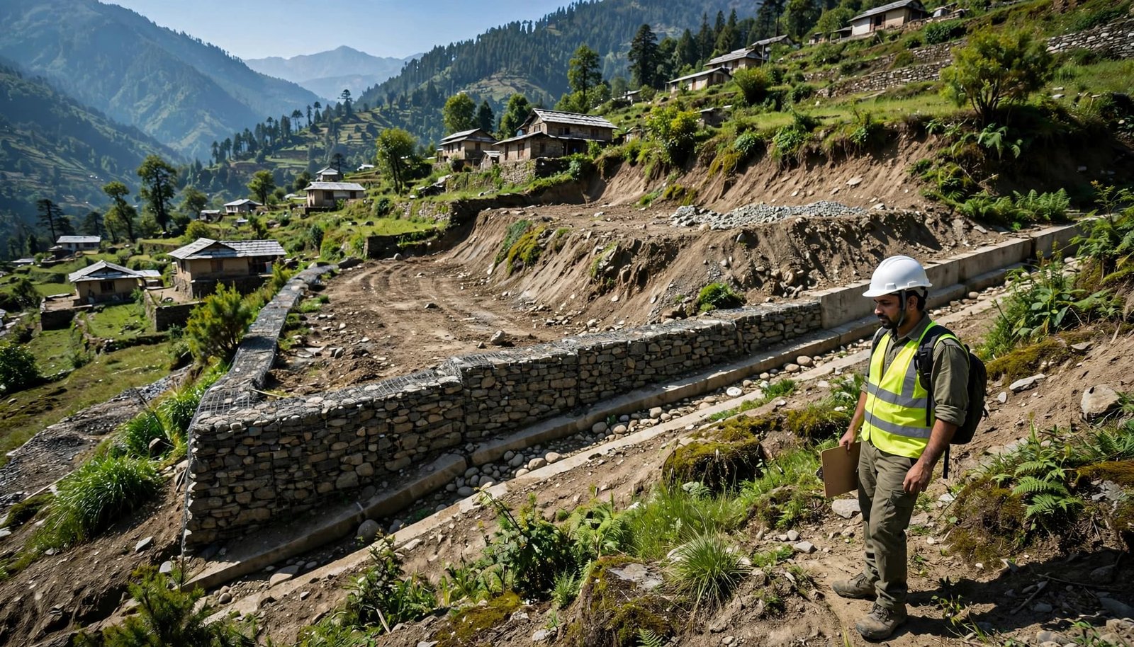
Choose someone independent of the seller, developer, and broker. Ask whether they understand the district’s engineering geology and have worked on hill sites, not merely flat urban sites.
What the site report should cover
A serious report should assess the site’s physical factors, including slope angle, soil and rock, discontinuities, groundwater or seepage, drainage paths, cut-and-fill areas, past movement, foundations, retaining walls, and access. It should also include a vulnerability assessment of the house and essential services.
Depending on the plot, it may need topographic surveying, trial pits, boreholes, or laboratory testing. If the professional uses geotechnical models or factor analysis, the report should explain how evidence was weighed, including its assumptions, data, and limitations.
Ask for plain answers. Can the house remain as it is? What repairs are needed? What work should happen before occupation? How does the report rate slope stability? Which structural measures or mitigation measures are justified? What would make the engineer advise against buying?
The NDMA landslide information page is useful for understanding India’s wider landslide hazard and regional hazard zonation. GSI, state, or district hazard zonation sources can add context, but they don’t replace an engineer standing on your exact site.
Treat visible warning signs as a stop signal
No single crack proves an active landslide or confirms a landslide hazard. But several signs, or changes that worsen over time, justify stopping the transaction and arranging a qualified inspection.
Watch for fresh diagonal cracks in walls, gaps between steps and the house, and doors that suddenly jam. Also note tilted poles or trees, bulging retaining walls, sunken paving, and wet patches without rain.
Together, these may indicate ground deformation or changing slope stability. Recent heavy rain, excavation, leaking utilities, or altered drainage may be triggering factors when observation supports that link.
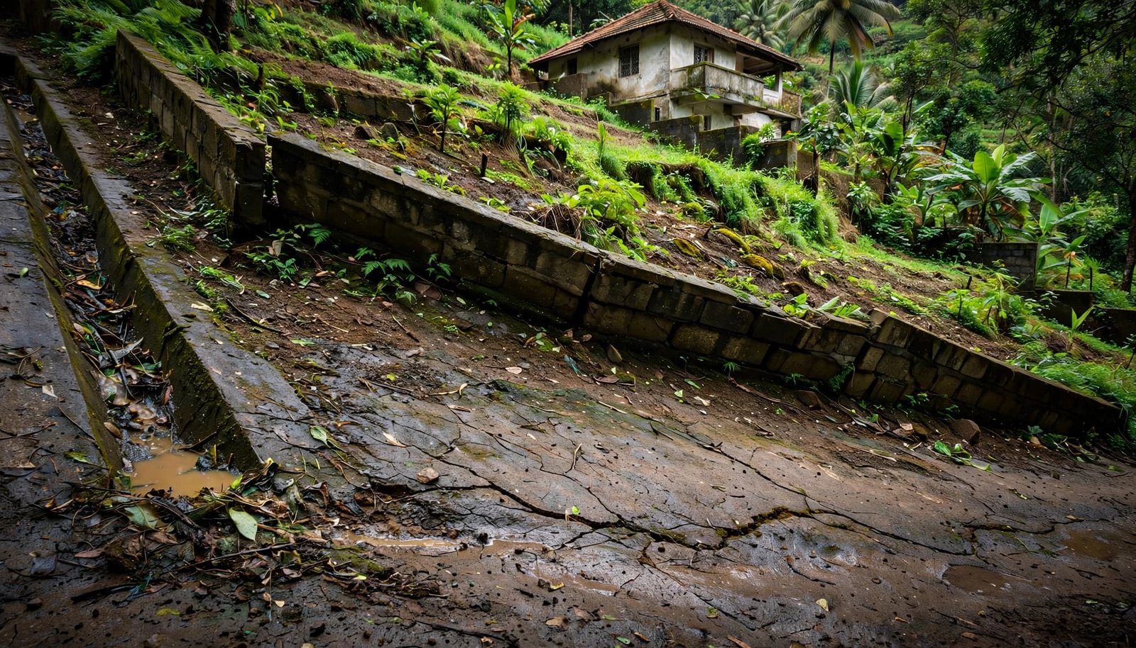
A cracked boundary wall may be cosmetic. It may also reflect movement in the ground. Don’t let anyone diagnose it from a photograph or dismiss it as “normal settling” without evidence.
Treat the road, home, poles, drains, and access routes as elements at risk. Check the road leading to the property as carefully as the home itself. Frequent patchwork, fallen debris, blocked drains, or fresh exposed cuts can make access unsafe during heavy rain.
Photograph what you see, with dates and wide shots showing each location. Measure changes only from a safe place. Compare conditions after rainfall without entering dangerous areas, then share the records with a qualified professional as part of household risk reduction.
Check local early warning systems and official district alerts before visiting or evacuating. If there is immediate danger, keep away and contact the local authority or emergency services.
Don’t confuse concrete with slope safety
Retaining walls look reassuring because they are visible. Yet a wall without drainage can trap water and fail under pressure. A tall wall built without proper foundations, design, and weep holes may create a false sense of safety. Regional hazard zonation can show where landslide hazard may be higher, but it cannot size a retaining wall.
Structural measures need a site-specific design
Structural measures can include engineered retaining walls, rock bolts, gabions, reinforced slopes, lined drains, and properly designed foundations. Each intervention requires site-specific design and should address a diagnosed mechanism, not serve as a generic cure. None should be copied from a neighbour’s house.
Do not accept “we will build a bigger wall” as a fix. Nature-based solutions, such as managed vegetation or bioengineering, may help in some settings, but they have limits. Ask what is causing the pressure behind the wall and where that water will go.
Use hazard zonation in development planning to prioritize homes, roads, utilities, and people as elements at risk. It can guide priorities, but it cannot replace a site investigation or approve a wall design.
Non-structural measures still matter
Non-structural measures can support risk reduction through drainage maintenance, safe construction, monitoring, and preparedness. These mitigation measures don’t hold up soil, but they can reduce harm when conditions worsen.
Early warning systems can support rain alerts, evacuation planning, restricted construction zones, and clear local reporting. Keep track of warnings during the monsoon. The NDMA guidelines portal offers national disaster-management material, while local district alerts matter most when rain intensifies.
Reducing harm requires qualified review of design, construction, maintenance, and site conditions. It also requires a household plan for leaving early when the slope becomes unsafe.
Think beyond your boundary wall
Hill homes depend on shared systems. A neighbour’s unapproved excavation can redirect runoff onto your land. A road contractor can cut a slope and leave it exposed. A blocked public drain can undo the best drainage on one private plot. Downstream residents, roads, utilities, and ecosystems are elements at risk when shared systems fail.
For a buyer, development planning starts with checking road-cut approvals and hillside construction permits. Ask who maintains shared roads and drains, where wastewater goes, and whether new work has changed water flow. Hazard mapping and hazard zonation should inform development planning, but a mapped landslide hazard cannot settle an individual home’s safety. Check local hazard zonation against current slope conditions before relying on a map.
Systemic change is not a slogan in a hill town. It means approval records, drainage budgets, inspections after rain, and officials who answer for dangerous slope cutting. A buyer’s factor analysis should weigh private construction, public infrastructure, rainfall, drainage, and maintenance together. The physical factors include altered runoff, exposed cuts, and soil disposal.
Ask whether the project and local authority fund maintenance, safe retrofits, and nature-based solutions, rather than focusing only on glossy sales offices. Circular economy claims mean little if broken construction materials, excavated soil, and drainage debris are dumped downhill.
Everyday mindfulness can start with noticing a blocked drain. It becomes practical risk reduction when residents document it, report it, and demand a repair record. Ask who is responsible for protecting these elements at risk when a drain fails or a new slope is cut. For wider work linking local ecosystems with public accountability, explore Explore Our Active Missions alongside local reporting.
Frequently Asked Questions
Are India’s official landslide maps enough to confirm that a hill home is safe?
No. GSI and ISRO maps are valuable screening tools, but they work at a broader scale than an individual property and cannot replace a plot-level inspection.
When should I inspect a hill property for landslide risk?
If it is safe to travel, visit after sustained or heavy rain so you can observe seepage, runoff, blocked drains, and saturated soil. Check local IMD, state, and district warnings first, and never enter an actively affected area.
What professional should I hire before buying a hill home?
Hire an independent geotechnical professional with experience in hill sites and the local engineering geology. Depending on the property, the assessment may also require structural and engineering geology expertise.
Which warning signs should make me pause the purchase?
Fresh diagonal cracks, gaps near steps, jammed doors, tilted trees or poles, bulging retaining walls, sunken paving, unexplained wet patches, and worsening drainage problems deserve attention. Several signs together, or any clear change after rain or excavation, justify stopping the transaction until a qualified professional investigates.
Can a large retaining wall solve a landslide problem?
Not necessarily. A wall without suitable foundations, drainage, and site-specific design can trap water and fail under pressure, so the cause of the movement must be diagnosed before structural or nature-based measures are selected.
A safer hill home begins with a harder question
The right hill home is not the one with the prettiest view. It is the one whose slope, drainage, foundations, access route, and records can stand up to honest scrutiny.
A landslide risk assessment helps you look past the sales brochure and examine physical factors. Check drainage, soil, rock, water, and slope form, then identify the elements at risk.
Screen for a landslide hazard first, then use hazard mapping and hazard zonation to understand the wider setting. Inspect after rain, request records, and hire an independent professional. Review development planning decisions uphill and along the access route. These checks support risk reduction before you commit.
Don’t buy reassurance. Buy evidence.