Indian Coral Reefs: How Communities Can Track Bleaching
 TBH Editorial
A white coral can still be alive. Communities can track bleaching on coral reefs in India through repeat photographs, consistent observations and heat alerts, without touching or collecting coral.
The harder task is making those records count when fishing incomes, coastal development and public responsibility collide. Evidence needs a response, not another dashboard that nobody acts on.
Start by knowing what bleaching shows, and what it cannot tell us alone.
What coral bleaching tells us
Heat disrupts a living partnership
Reef-building coral polyps host microscopic algae called Zooxanthellae inside their tissues. The algae photosynthesise and supply much of the coral’s energy.
When seawater stays unusually warm, coral polyps lose these algae. Their white skeleton then shows through translucent tissue.
Bleaching weakens corals, but coral polyps can recover if stress eases. Prolonged heat can cause starvation, disease and death. Pollution, sediment and destructive fishing can make recovery harder.
White doesn’t automatically mean dead
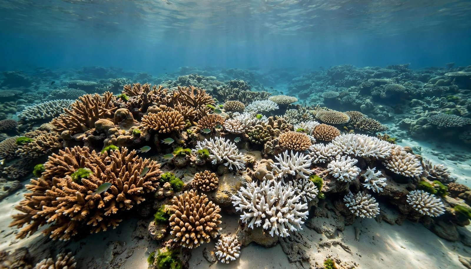
Illustrative reef scene, not a field assessment.
A photograph of white coral cannot establish mortality by itself. Injury, disease and sediment damage can also produce pale or bare patches.
Observers should distinguish healthy-looking, pale, bleached and recently dead coral using training and an agreed method. Uncertain observations should remain labelled uncertain.
That distinction matters. Calling every white colony dead exaggerates immediate losses. Calling bleaching harmless ignores the risk of mortality.
Read India’s reef map with its dates attached
Older accounts describe India’s coastline as about 7,517 km, including islands, with roughly 6,100 km along the mainland. Coastline measurements change with mapping methods; they tell us little about reef condition.
The commonly repeated reef-area estimate, approximately 2,375 square kilometres, comes from 1997 mapping by the Department of Ocean Development and Space Applications Centre. It’s a historical inventory, not a measure of today’s living-coral cover.
India’s reefs contain more than 200 hard-coral species. Older inventories report 208-plus scleractinian species, with Acroporidae the largest family. Survey coverage and taxonomy affect these totals.
Three reef forms need separating. Fringing reefs grow close to shore. Barrier reefs lie farther offshore, separated by a lagoon. Atolls form rings around lagoons.
Fringing reefs dominate outside Lakshadweep, whose reefs are principally atolls. Barrier formations also occur around the Andaman and Nicobar Islands. The familiar claim that all other reefs are fringing oversimplifies this geography.
These habitats reduce wave energy and erosion, providing coastal protection. They also support fisheries and tourism. Their ecological impact reaches households that never enter the water.
Where Indian coral reefs need local monitoring
India’s principal reef regions need different monitoring approaches.
| Reef region | Reef setting | What community records should capture |
|---|---|---|
| Andaman and Nicobar Islands | Mainly fringing reefs, with some barrier reefs; India’s most diverse reef region | Differences between islands, depths and sheltered or exposed sites |
| Lakshadweep | An interrupted atoll chain across 36 islands, traditionally including 10 inhabited islands | Lagoon and outer-reef conditions separately |
| Gulf of Mannar | Fringing reefs around a chain of 21 islands between Rameswaram and Thoothukudi, within a biosphere reserve | Bleaching alongside sediment, fishing pressure and disturbance |
| Palk Bay | Shallow nearshore reefs | Water clarity, runoff and sediment alongside coral colour |
| Gulf of Kutch | Tropical reefs exposed to strong tides and naturally turbid water | Tide stage, visibility and consistent photo locations |
A photograph taken at a different tide can conceal more than it reveals. Comparable observations matter more than dramatic images.
Wildlife Trust of India’s November 2025 account describes bleaching during the 2023-24 event in Lakshadweep, Gulf of Mannar, Palk Bay and the Andaman and Nicobar Islands. Its Gujarat account reported no significant bleaching through June 2024. These dated observations don’t establish later conditions.
Patchy coral habitats also occur near Ratnagiri, Malvan and Gaveshani Bank. Small or less-publicised sites deserve records too.
A national total can’t tell us whether a particular fishing ground has recovered. Site-level follow-up is the missing piece.
Use heat alerts as warnings, not verdicts
Satellites tell us where to look
NOAA Coral Reef Watch tracks sea-surface temperatures and accumulated heat stress. India’s INCOIS has issued coral-bleaching alerts since 2011.
These services help monitoring teams prioritise safe observations. Heat alerts identify risk of coral bleaching, but don’t measure the condition of every colony.
Degree Heating Weeks measure accumulated thermal stress over time. Read them alongside the product’s date and explanation. A coloured alert map isn’t a field census.
Nearshore conditions can differ across short distances because depth, currents, shading, tides and water exchange vary. In the Gulf of Kutch, turbidity and visibility also affect what teams can observe. Record these differences rather than treating the nearest satellite estimate as an underwater thermometer.
Separate exposure, bleaching and mortality
NOAA confirmed the fourth global bleaching event in April 2024.
Its global bleaching status update reports bleaching-level heat stress across approximately 84.4% of the world’s reef area between January 2023 and September 2025.
That statistic measures heat exposure, not the proportion of coral that died. Climate change increases marine heat risk, but an alert alone doesn’t establish the local cause or damage.
A heat alert, visible bleaching and confirmed mortality are three different observations. Community reports should keep them separate.
This is practical climate literacy: understanding what a measurement supports before turning it into a claim.
Build a repeatable community monitoring routine
Return to the same places
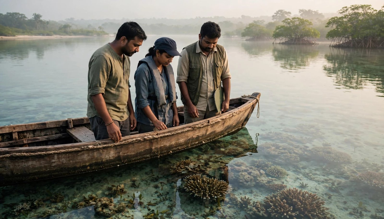
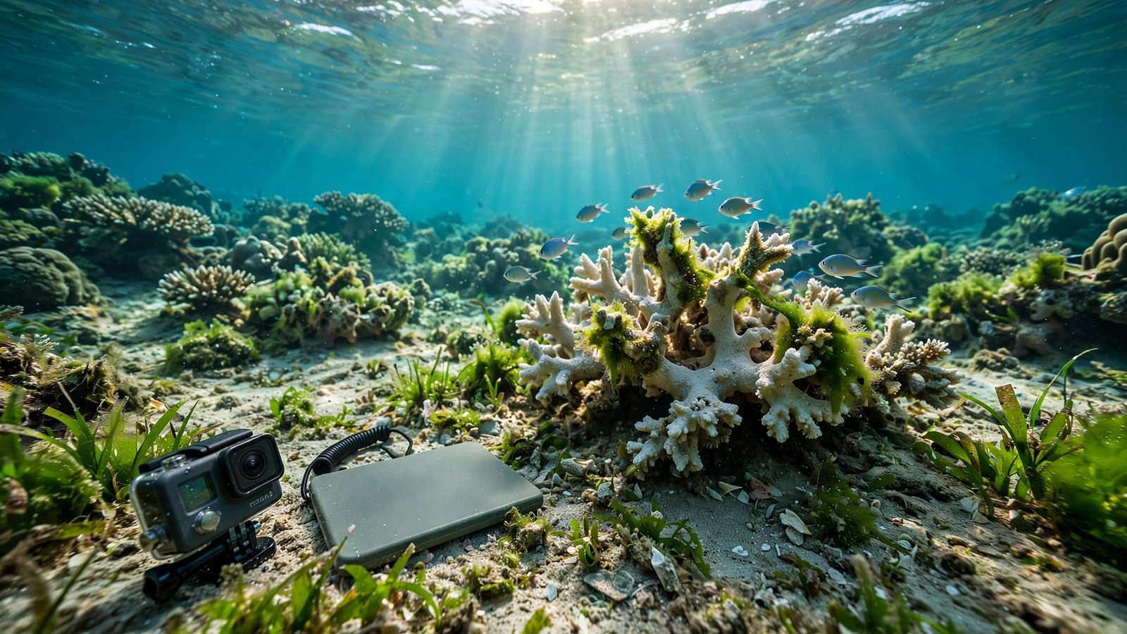
Illustrative community-monitoring scene.
Work with trained reef researchers or an established monitoring programme. Agree on accessible sites, survey effort and recording categories before observations begin.
Community observations are useful screening and follow-up records, but they aren’t automatically formal scientific surveys or a basis for population-wide claims. Trained, standardized surveys are needed for stronger estimates and claims about causes.
Repeat the same locations and depths. Use recognisable features to reproduce photo angles without placing objects on coral. Record tide and visibility each time.
The Coral Reef Alliance’s on-site monitoring guidance describes tools for documenting reef condition. Waterproof CoralWatch colour charts can support consistent colour scoring after training.
Don’t enter unsafe water for a better photograph. Never stand on, handle, collect or move coral. Protected-area access and research permissions still apply.
Record enough detail to make comparisons fair
A useful shared record includes:
- The observation date, site identifier, position, depth and tide.
- Survey duration, method and the number of colonies assessed.
- Separate counts for pale, bleached, apparently healthy and suspected dead colonies.
- Original photographs, observer names and any uncertainty.
- Visible sediment, broken coral, algal growth or nearby disturbance.
Keep original image files. Editing colour or exposure can undermine later comparisons.
Every percentage needs a denominator. Bleached colonies divided by colonies assessed is different from the proportion of reef surface covered by bleached coral.
Include observations where no bleaching is seen. Otherwise, reporting only damaged sites can distort the record.
Repeat observations after heat subsides. A single survey documents a moment; follow-up reveals recovery, persistent bleaching or mortality.
Make community evidence trigger institutional action
Fishworkers often notice changing catches or damaged fishing grounds before a formal survey arrives. Their knowledge deserves payment, attribution and a documented response.
A credible programme budgets for training, boat time, safety equipment, data management and repeat visits. Monitoring that depends on unpaid residents eventually excludes people who can’t afford to participate.
India already has relevant scientific capacity. The Zoological Survey of India monitors reefs; CMFRI, the National Institute of Oceanography and the Space Applications Centre in Ahmedabad contribute marine research and mapping. Ask a local reef programme or the Zoological Survey of India if it accepts community observations. Don’t assume it does.
Each community report needs a named recipient and a response deadline. Publish survey methods, findings and corrective action, while restricting sensitive locations where disclosure could encourage damage.
Protection has legal roots
The 1991 Coastal Regulation Zone notification classified coral reefs as ecologically sensitive CRZ-I areas. Its beach-resort guidelines prohibited hotel or resort construction on coral reefs.
Later coastal and island regulations changed the regulatory framework. The 1991 text is an important foundation, not the complete current rulebook.
Measure pressures alongside bleaching
Warming and local damage can occur together. Surveys near development should record sediment and disturbance without assuming that proximity alone proves causation.
Our account of dredging impacts on coastal habitats explains why nearshore livelihoods can disappear inside broad project averages.
Systemic change means funding investigation when evidence raises concern. It also means publishing failed restoration outcomes. Transplanted coral counts can’t substitute for survival, recovery and reduced pressure.
Keep responsibility larger than personal habits
Plant-based living and everyday mindfulness can reflect concern for marine life. These personal choices can’t replace emissions cuts to address climate change, sewage treatment or enforceable coastal safeguards.
A circular economy approach can reduce waste reaching coastal waters through reuse, collection and producer responsibility. It can’t compensate for a marine heatwave.
Tourism and infrastructure operators should use sustainable business models to fund long-term monitoring and prevent avoidable habitat damage. A restoration photo is inadequate evidence of responsible operations.
We should ask the same questions across ecosystems: Who pays for follow-up? Who publishes failure? Who must respond when residents report harm?
Our work on mangrove restoration benefits shares that emphasis on coastal livelihoods and functioning habitat. Mangroves and reefs need different methods, but both need sustained accountability.
For readers inland, our on-the-ground urban biodiversity and climate literacy projects offer another route into community action: Explore Our Active Missions.
Make the next observation count
Indian coral reefs need repeatable evidence tied to responsibility. Communities can document change, but institutions must fund monitoring and act on what it reveals.
A white colony may recover. A missing record leaves us unable to explain what happened.
Start with one safe, repeatable monitoring partnership that pays local participants and publishes the response.