Glacial Lake Flood Risk: A Himalayan Monitoring Guide
 TBH Editorial
A calm lake can still hold enough water to devastate the valley below. If you live downstream, its appearance tells you little about your safety.
Reducing glacial lake flood risk requires repeated observations, reliable communications, and a warning chain that reaches people before floodwater does. Communities need a role in that chain, without being left to carry the responsibility alone.
Start with the lake, but follow the risk all the way to the last settlement downstream.
Key Takeaways
- A glacial lake outburst flood (GLOF) occurs when a moraine or ice dam fails and releases meltwater, often carrying destructive sediment and debris.
- Flood risk depends on lake and dam conditions, possible flood pathways, and the exposure and vulnerability of downstream communities.
- Satellite imagery, field sensors, drone surveys, and hydrological models provide different kinds of evidence, but no single tool gives a complete warning.
- A useful warning system connects detection to clear responsibility, reliable communication, and practised evacuation, with maintained equipment and paid community observers.
What a glacial lake outburst flood does
A glacial lake outburst flood, or GLOF, is a sudden release of meltwater when a moraine or ice dam fails. These floods typically last hours to days, although the most destructive surge may pass much faster.
Reported peak flows reach 15,000 cubic metres per second. Downstream river discharge can rise by roughly tenfold. These figures aren’t a ceiling for every glacial flood.
The danger also includes sediment. Fast-moving water can carry boulders, uprooted trees, and loose material, creating destructive debris flows. Bridges, hydropower installations, fields, and drinking-water systems can fail along the same corridor.
For residents, the practical question is how quickly that corridor connects the lake to their village. A flood lasting several hours doesn’t necessarily provide several hours of warning.
We should judge monitoring by how much time a GLOF gives people to reach safety, not by the number of instruments installed.
How moraine and ice dams fail
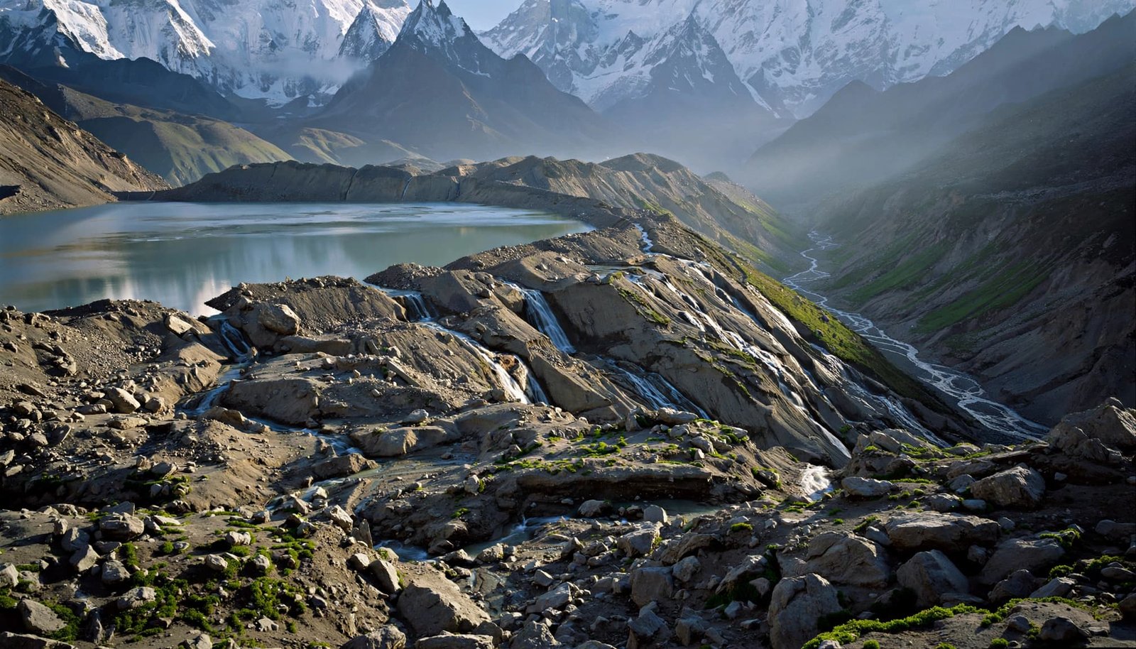
Illustrative view of a moraine-dammed lake.
Moraine dams can erode outside and inside
A moraine dam consists of loose sediment left by a glacier. Many are relatively narrow, steep, and sharp-crested. Their material can allow water to seep through, creating more than one possible path to dam failure.
An avalanche, rockfall, or calving glacier can send a displacement wave across the lake. If water overtops the dam, it can carve a channel through the sediment. This breach incision enlarges the opening, allowing progressively more water to escape.
Piping works internally. Seeping water carries away fine particles and creates channels inside the dam.
Heavy rainfall, rapid snowmelt, and earthquakes can contribute to failure and may lead to breach incision. Monitoring therefore needs to cover surrounding slopes and the outlet, not only lake level.
Ice dams can lift off their beds
Ice-dammed lakes behave differently. As water pressure rises, the ice can lift from its bed and allow drainage through subglacial conduits.
Flotation may begin when water depth reaches about 90% of the ice-dam height. This is a physical explanation, not a universal community alarm threshold.
Ice-dammed lakes can drain and refill repeatedly. One drainage event doesn’t establish permanent safety.
Subglacial volcanic eruptions can also trigger floods, particularly in volcanic regions such as Iceland. AntarcticGlaciers.org explains these moraine and ice-dam failure mechanisms in greater detail.
Map glacial lake flood risk beyond the shoreline
Count exposure, not only lakes
ICIMOD’s regional lake inventory mapped and classified more than 25,000 glacial lakes in the Hindu Kush Himalaya in its 2018 assessment. Only 8.3% were below 4,000 metres.
That altitude matters for access. Many lakes in remote parts of Nepal are difficult to visit, maintain equipment beside, or inspect during bad weather.
A 2023 global exposure study identified 15 million people exposed to potential GLOF impacts, including 9.3 million in High Mountain Asia. China, India, Pakistan, and Peru account for more than half of global exposure. Nepal also faces serious risk.
Exposure isn’t a forecast of casualties. It identifies people who could be affected and need protection.
Prioritise lakes through hazard and vulnerability
Tsho Rolpa, at 4,580 metres in Nepal’s Rolwaling Valley, illustrates why sustained monitoring matters. Its unconsolidated moraine dam and large water storage have attracted decades of assessment.
But lake size alone cannot rank flood risk to communities.
Scientists assess lake growth, dam condition, surrounding unstable slopes, glacier contact, and plausible flood pathways. Communities contribute knowledge about occupied river terraces, seasonal workers, damaged bridges, and evacuation barriers.
A smaller lake above a densely occupied valley may demand urgent attention. A larger lake in an unoccupied catchment presents a different problem.
Hazard describes what the flood can do. Vulnerability describes who struggles to escape or recover. Both belong in the assessment.
What past floods teach communities
In 1941, an ice avalanche entered Peru’s Lake Palcacocha and triggered an outburst. The flood devastated Huaraz and caused at least 1,800 deaths, according to an Oxford-hosted Palcacocha study. This GLOF showed how unstable ice and lake water can threaten downstream settlements.
In June 2013, an outburst from Chorabari Tal contributed to the Kedarnath disaster in Uttarakhand. Heavy rainfall and debris flows were also involved. Treating the event as a single-cause lake failure misses the wider catchment conditions.
Beyond the Himalayas, Iceland’s 1996 Vatnajokull jökulhlaup reached roughly 50,000 cubic metres per second. Wyoming’s Grasshopper Glacier experienced an outburst in 2003 that drained over four days.
These events show why one flood template is inadequate. Triggers, drainage speeds, and downstream effects differ.
Communities need scenarios for their own catchments, including overlapping rain, landslide, and lake-outburst hazards. A warning plan based only on a familiar monsoon flood may overlook a faster, sediment-heavy surge.
Combine satellite observations with field measurements
Read change across seasons
Landsat and Sentinel satellite imagery can reveal changing lake boundaries, glacier retreat, and surrounding terrain. Comparing repeated images is more useful than judging one clear photograph.
Season matters: snow cover, cloud, shadows, and frozen surfaces can obscure water. In remote Hindu Kush Himalaya catchments, repeated observations help distinguish long-term glacier retreat from seasonal effects. Image resolution can also miss small outlets or narrow channels.
Satellite observations need consistent dates, mapped boundaries, and a record of uncertainty. A growing lake deserves investigation, but growth alone doesn’t prove imminent failure.
Drones can provide closer views of dam surfaces and unstable slopes. Trained teams should conduct these surveys under safe conditions. Residents shouldn’t be sent onto unstable moraine crests to fill a data gap.
Measure the lake and the downstream river
Field sensors can record lake level, rainfall, and downstream river level. Outlet observations help explain whether rising water reflects increased inflow, restricted drainage, or another change.
The tools answer different questions.
| Monitoring method | Useful observation | Main limitation |
|---|---|---|
| Satellite imagery | Lake expansion and glacier change | Clouds, resolution, and observation gaps |
| Drone surveys | Dam surface and slope conditions | Weather and access restrictions |
| Water-level sensors | Changes between satellite observations | Maintenance, power, and transmission failures |
| Hydrological models | Possible flood depths and arrival times | Dependence on terrain and breach assumptions |
No single instrument provides a complete warning.
Hydrological models should test several plausible breach scenarios, including uncertainty around breach incision. They shouldn’t present one arrival time as certain. Surveyed terrain and lake-depth measurements improve those estimates.
Public summaries should identify the lake, observation date, instrument status, and what changed. Missing data must remain visible.
Turn measurements into warnings people can use
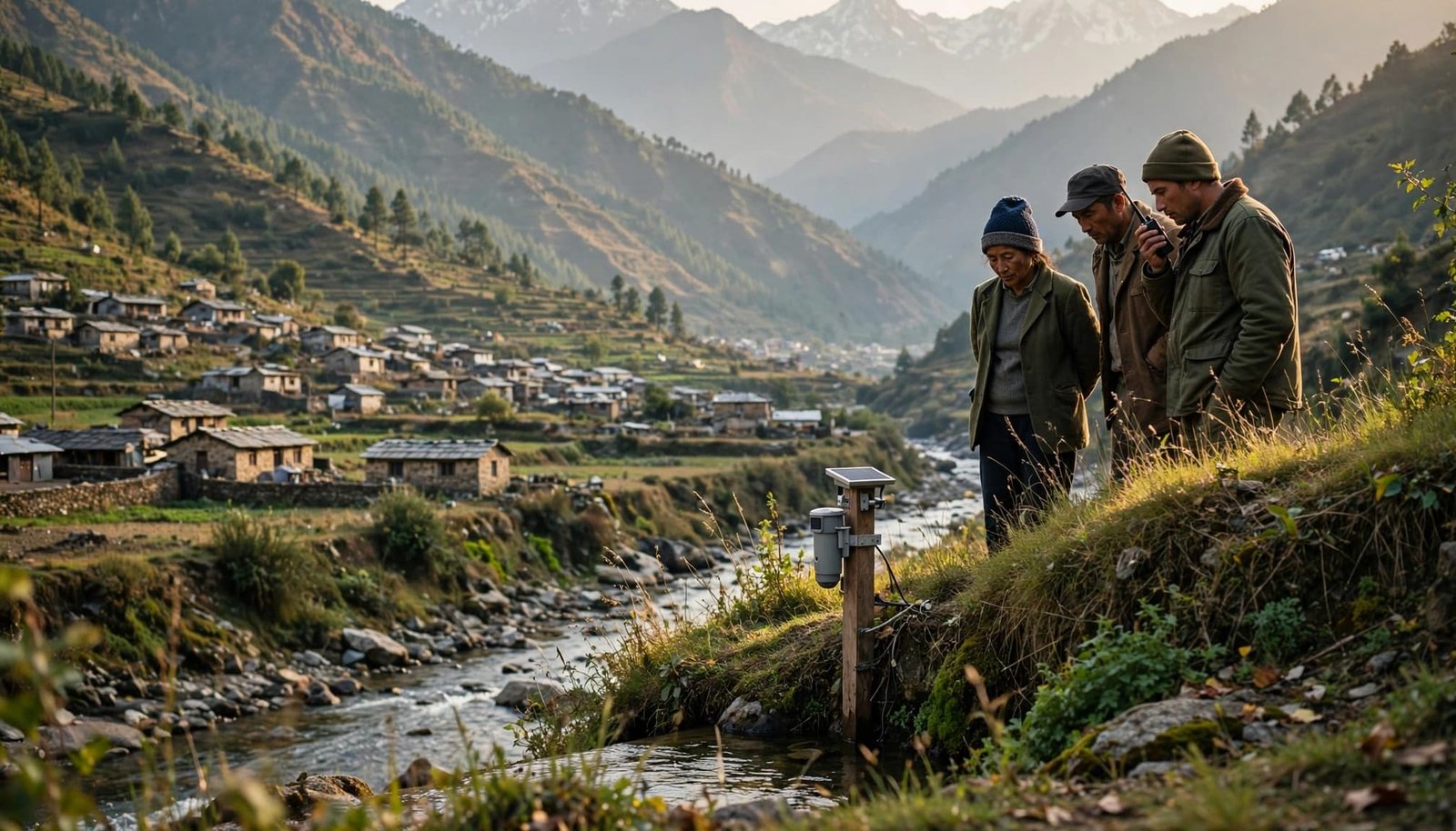
Illustrative scene of community river monitoring.
Define the alert chain before an emergency
A working early warning system connects detection, interpretation, communication, and evacuation. Every connection needs a named responsible person or agency.
Authorities should establish site-specific thresholds with qualified scientific teams. A rapid lake-level change needs interpretation, not automatic guesswork by volunteers.
Warnings should identify the affected river corridor and the required action in local languages. Sirens, radio, phone alerts, and community messengers provide backup when one channel fails.
A sensor can detect a change while a village receives nothing. Equipment status and message delivery both need testing.
The alert chain must cross district boundaries. Water doesn’t stop where one agency’s jurisdiction ends.
Practise the difficult parts of evacuation
Flood modelling should guide evacuation routes and gathering areas outside plausible inundation zones. A familiar bridge or riverside road may become unusable first.
Drills need to include older people, children, people with disabilities, visitors, and households without reliable phones. Practise what happens when electricity fails or an evacuation route closes.
Local observations can strengthen reporting. Dated photographs from established safe locations can document changed drainage or damage between inspections.
Everyday mindfulness becomes useful when observations enter a response system. It must never become an invitation to approach a swollen river, investigate a dam, or wait for visual proof before following an evacuation order.
Make monitoring accountable across the whole basin
Fund maintenance and pay community observers
A monitoring programme needs recurring money for calibration, batteries, spare parts, communications, and trained staff. Installation photographs tell us nothing about whether the equipment works two winters later.
Community observers should receive training, fair compensation, and clear safety limits. Their knowledge has value. It shouldn’t become free labour that replaces public responsibility.
Across the Hindu Kush Himalaya, basin-wide coordination relies on ordinary practices. These include published inspection dates, repair logs, named officials, and functioning backup communications.
Repairable equipment also applies circular-economy principles sensibly. Replaceable components can reduce waste and make remote systems easier to maintain. Procurement must still prioritise reliability and safety over environmental branding.
Track ecological damage and development decisions
Glacial lake flood risk also depends on decisions downstream. Roads, tourism facilities, and hydropower projects can increase exposure or alter evacuation access.
Our guide to environmental assessment report red flags helps readers question whether project documents address cumulative hazards and affected communities.
Monitoring should record ecological impact alongside infrastructure damage: sediment entering tributaries, altered channels, lost riparian habitat, and interrupted water supplies.
Protecting floodplains and managing slopes can reduce additional harm, but cannot contain every GLOF. The same distinction matters in understanding why river desilting can backfire.
Climate literacy means understanding these limits. The Sendai Framework for Disaster Risk Reduction 2015-2030 supports this broader responsibility through risk knowledge, governance, investment, and preparedness. It’s a global framework, not a guarantee of local protection.
Frequently Asked Questions
What is a glacial lake outburst flood?
A GLOF is a sudden release of meltwater when a moraine or ice dam fails. The flood can carry boulders, trees, and loose sediment that damage settlements and infrastructure downstream.
How can a glacial lake dam fail?
Water can overtop a moraine dam and cut a widening channel, or seepage can carry away fine material inside it. Ice dams can lift from their beds under rising water pressure, allowing drainage through subglacial conduits.
How is glacial lake flood risk assessed?
Assessments consider lake growth, dam condition, unstable slopes, glacier contact, and possible flood pathways. They also consider who lives or works downstream and how easily people can evacuate or recover.
What methods are used to monitor glacial lakes?
Satellite imagery tracks lake boundaries and glacier change, while drones can survey dam surfaces and slopes. Water-level sensors and hydrological models add other evidence, but each method has limits and no single instrument provides a complete warning.
What makes an early warning system work?
A working system connects detection, interpretation, communication, and evacuation, with a named person or agency responsible for each part. Warnings need to reach people in local languages through tested channels, with backup methods and practised evacuation plans.
A safer valley needs a working warning chain
A calm lake cannot tell a downstream family whether help will arrive in time. Repeated measurements matter most when they connect to clear responsibility and practised evacuation.
We owe communities accessible evidence, maintained equipment, and paid participation. Their safety shouldn’t depend on an unanswered phone.
Ask your local disaster-management authority for the valley’s warning and evacuation plan. Focus on one question: who receives the first alert, and how does it reach the last household?